
After yesterday's flooding in the Arava and Eilat: A lull in the rain is expected in the coming days, until Wednesday and Thursday, which are expected to be stormy, with fears of further flooding and mudslides.
Tomorrow (Monday) rain is expected in the north, accompanied by isolated thunderstorms. In the evening and night, the rain is also expected to spread to the central and northern Negev.
On Tuesday, there may be localized rainfall and there is a risk of flooding in the eastern and southern rivers.
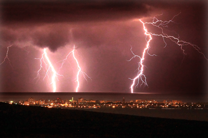
From Wednesday to Friday, the storm is expected to reach its peak: heavy rains will fall from the north of the country to the Negev, accompanied by thunderstorms and hail. Snow is expected in the heights of Mount Hermon.
In coastal and lowland cities, extremely high amounts of rainfall of between 100 and 200 mm are expected, and there is a serious risk of flooding.
Forecaster Tzachi Waxman, from the company Meteo-Tech, who predicts that starting Wednesday, heavy rains with flooding and even snow are expected in the heights of Mount Hermon - says: "A barometric depression extending from Arabia to Cyprus will cause local rains in our area in the coming days, but on Wednesday, the depression will move south, close to the coast of the country, and cause rainy and stormy weather and unusually heavy rain.".
The Meteorological Service published the rainfall amounts measured yesterday until 4:00 PM: 18 mm was measured in Luton, which is about half of the annual amount at the measurement site. Also, 10 mm was measured in HaTsaba and Faran, 9 mm in Sodom, and 6 mm in Eilat.